
Montclair Postal Directory Coverage
Prince William County’s official map verifies one principal ZIP for Montclair: 22025. The map labels it DUMFRIES, MONTCLAIR. That paired label matters because Montclair is a community in Prince William County, while ZIP codes are postal delivery constructs. The research did not verify a second ZIP serving the community, so no second code belongs in a Montclair search without first checking the exact address and parcel.
| ZIP | Areas Covered | Post Office | Notes |
|---|---|---|---|
| 22025 | Montclair addresses shown in the county’s Dumfries/Montclair postal area | Dumfries/Montclair label on the PWC map; confirm a mailing address with USPS | Verified principal ZIP; not a parcel, CDP, or POA boundary |
The Prince William County ZIP map supplies geographic context, while USPS supplies delivery standardization. Neither source should be used to assume that every address within a postal area is inside the Montclair POA or census-designated place.
Postal Names in Montclair Records
Seeing Dumfries on a mailing address does not automatically place a property outside Montclair. The official county map’s DUMFRIES, MONTCLAIR label shows why both names can appear. Postal geography is designed to route mail, not to define an incorporated municipality, neighborhood, election district, subdivision, or property line. Montclair itself was established in 1969 and remains a Prince William County community, so county records remain the relevant local custodian route.
A record can also describe the physical property and a different mailing destination. PublicAccessNow calls the property location the situs address and separately displays the owner’s mailing address. Use the situs address for parcel matching. Use a mailing address only for the limited purpose shown by the record, not as proof that its recipient lives at the property.
Standardize Montclair Mailing Addresses
USPS ZIP Code Basics explains that ZIP codes standardize complete delivery addresses and that different ZIP types exist. Use the official USPS lookup to format a complete mailing address before comparing it with a county result. This is especially helpful when a deed, older directory, or correspondence uses a postal city name different from the community name. It is a delivery check, not a property-owner or resident search.
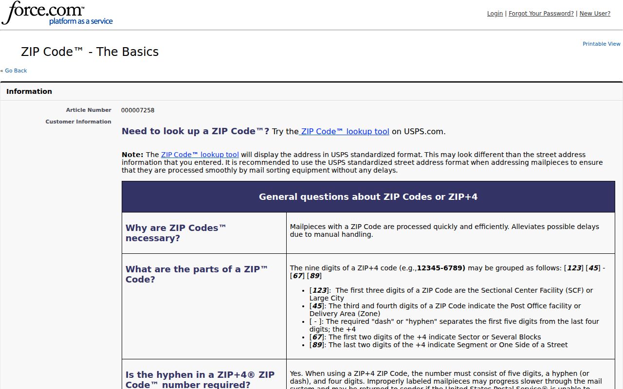
USPS standardization reduces address-format errors. County parcel and deed tools are still needed to verify that the standardized address points to the intended Montclair property.
Note: A ZIP+4 or carrier-route detail helps mail sorting but does not replace a parcel identifier, survey, or legal description.
Find Montclair Records by ZIP
There is no inspected county property form that uses ZIP as its primary input. A ZIP-oriented search therefore works by narrowing the mailing or geographic context first, then shifting to the address and parcel fields that the county actually accepts. This protects against a broad postal result being mistaken for a list of Montclair residents.
- Use USPS to standardize the complete mailing address and confirm its postal result.
- Compare the address to the PWC ZIP map and the official street directory, keeping house number and community with the street name.
- Search PublicAccessNow by house number and street name, or use GPIN or account number when a parcel identifier is known.
- Open County Mapper to check the parcel and relevant layers, then compare the situs address to the intended community or POA area.
- For an authorized election-status question, use Virginia’s individual Citizen Portal. Do not treat it as a ZIP-wide roster or infer residency from a voter record.
Once the postal area narrows to a specific road, use the Montclair street directory for the fuller address-to-parcel and deed workflow.
PublicAccessNow Fields for Montclair
PublicAccessNow is the county’s address and parcel tool. Its form does not provide a ZIP field, which is an important distinction for ZIP code directory work. Search the operational county keys, then read the property result and validate the postal context separately.
| PublicAccessNow field | Use in address validation | Format or result note |
|---|---|---|
| House Number | Starts the exact property search. | Pair with Street Name. |
| House Number High | Checks a known range. | Optional upper range value. |
| Street Name | Matches the road against county records. | Enter without directional prefix or suffix. |
| GPIN or Account# | Returns a known parcel when available. | GPIN xxxx-xx-xxxx; account/RPC is six characters with leading zeroes as needed. |
| ZIP field | Not supplied on the inspected property form. | Read the result, then compare with USPS and the county map. |
The assessment card may show owner, mailing, use-code, value, zoning, acreage, and transfer-history information. It is not a title certificate and does not prove current occupancy. A conveyance number can lead to Eagle Recorder when a transaction needs verification.
Map Checks for Montclair Parcels
County Mapper supports address, GPIN, and map-click searching. It is the right second check after a postal result because it places the property inside the county’s mapped parcel setting. The viewer can show road, water, and parcel context, but county guidance says its data are informational and may have imagery or parcel-overlay misalignment.
The County Mapper help material is illustrated below. Pop-up blockers, cookies, browser behavior, and source-data limitations can affect what the viewer displays. A drawn polygon is not a legal description, so use a recorded plat or deed for boundary-sensitive work.
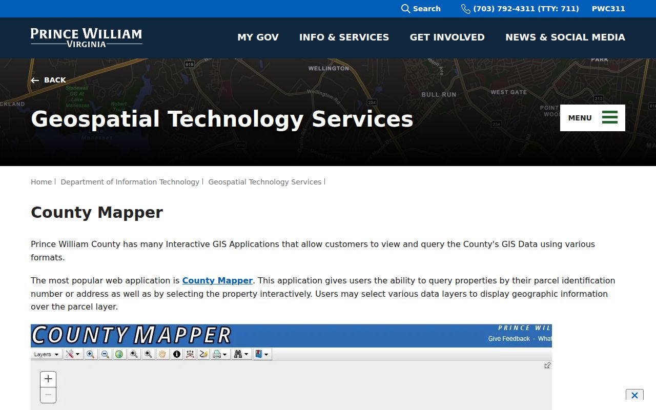
County Mapper can validate a parcel’s position after USPS standardizes mail, but neither layer should be stretched into a claim about legal city limits or a current household.
Lake Geography Around Montclair
Lake Montclair is a private, MPOA-maintained lake of about 108 acres in the Powells Creek watershed. Dumfries Road or Route 234, Waterway Drive, and Southlake Boulevard provide useful local orientation around it. Water, private open space, roads, and association parcels can make two addresses look close on a postal map while separating them in the parcel landscape.
That is why a ZIP-based result should be checked against the exact street and County Mapper. It also explains why a POA precinct or subassociation can be more precise for community context than a postal label. Those private organizational layers are not public resident rolls.
Check Montclair Street Names
The Prince William County Street Directory is a second record layer, not merely a list of road names. It pairs roads with postal areas and gives concrete Montclair examples such as Widewater Drive, Windsong Lane, and Windward Court. When PublicAccessNow returns more than one possible street or an older source has an abbreviated road name, compare that source against the county directory before opening a parcel card.
Similar names are the main trap. The county directory also includes examples tied to nearby 22172 and 22193. Keep the house number, full street name, postal label, community, and county parcel together during a comparison. A city name from a historic directory, a Dumfries mailing label, or a close street spelling can all be useful research clues. None replaces a matched situs address and GPIN.
The county subdivision reference separately lists MONTCLAIR ST1 SN4. It supports subdivision filtering and normalization, but the research did not identify an official explanation for every part of that code. Preserve it as a county label rather than expanding it into a meaning the source does not supply.
Montclair Postal Boundary Definitions
ZIP codes and local boundaries answer different questions. The county ZIP map, parcel viewer, Montclair POA material, and Census geography overlap in places but do not draw the same lines. Keep the record type clear before relying on a result.
- ZIP versus ZIP+4
- A ZIP identifies a delivery area; ZIP+4 adds a more specific delivery segment for mail sorting.
- PO Box ZIP
- A postal code used for post-office-box delivery rather than a geographic parcel area.
- Unique ZIP
- A ZIP assigned for a single organization or high-volume destination, when USPS designates one.
- Carrier route
- A mail-delivery sequence used within a delivery area, not a property or community boundary.
Montclair’s verified principal code is postal information. It is not a parcel boundary, census CDP boundary, or POA precinct boundary. A property near an edge needs an exact address and parcel review.
Review Montclair Address Matches
The Prince William County Street Directory is a strong false-match check because it shows Montclair street examples with 22025 while also listing similar names associated with nearby 22172 and 22193. Search a full house number, street, ZIP, and community together. Do not let a familiar street name or Dumfries postal label decide the result by itself.
For a formal commercial address issue, PWC GIS assigns official commercial addresses and does not permit self-addressing. For ordinary residential record research, the practical sequence remains USPS standardization, PublicAccessNow situs search, County Mapper validation, and the recorded land instrument when title or transfer details matter. The postal directory is most reliable when each source stays in that lane.